Red Grid Link
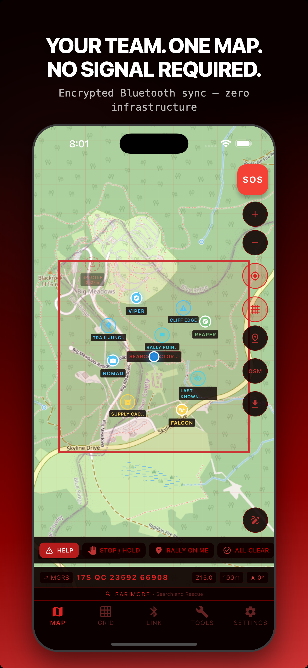
v1.6.0: Field Readiness PreflightSee your whole team on one map: no $850 radio, no TAK server, no account. Just the phones you already carry, syncing encrypted positions over Bluetooth with no cell service.
What Red Grid Link Does
Field Link: Encrypted Team Sync
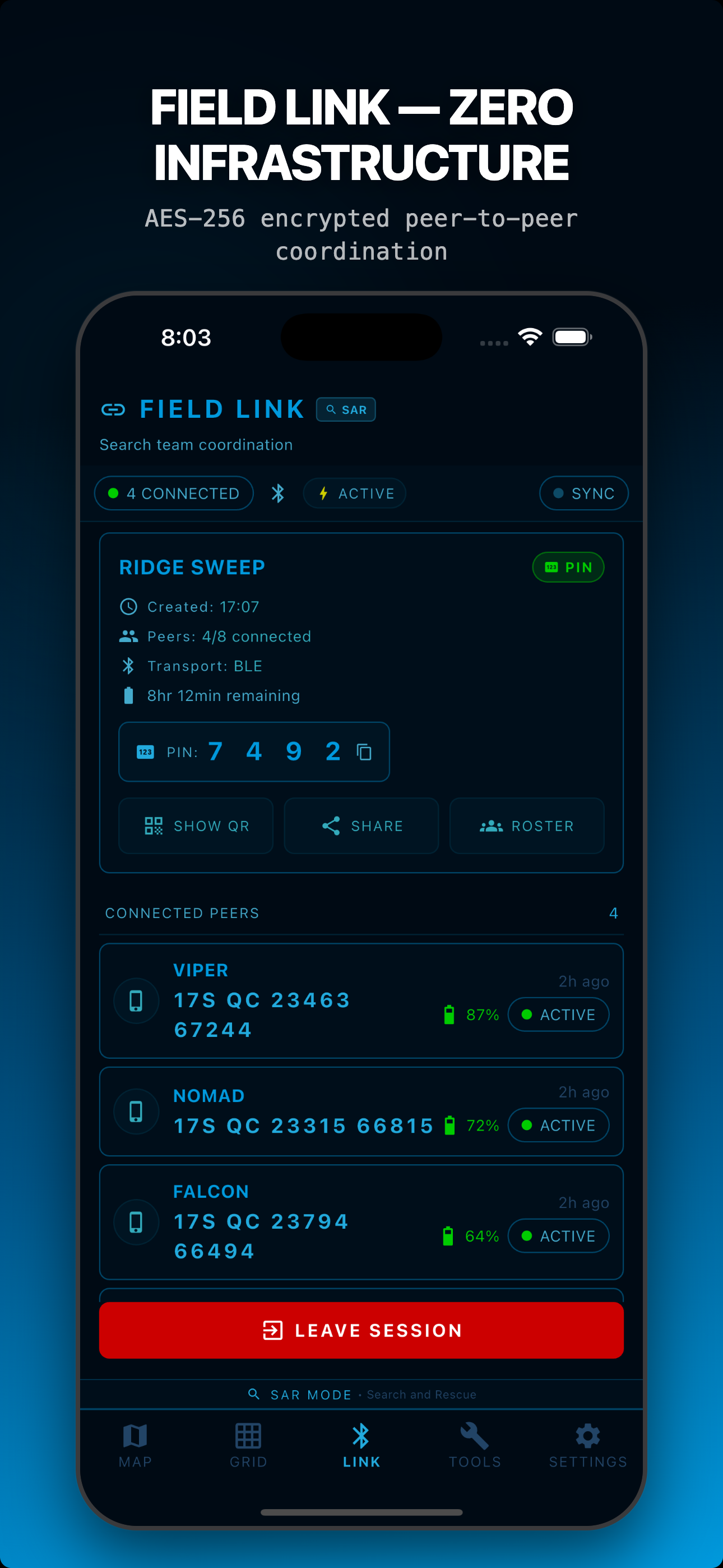
Auto-discover teammates over Bluetooth LE, with Apple Multipeer Connectivity on iOS and Google Nearby Connections on Android. AES-256-GCM encryption (PIN & QR sessions), no servers, no pairing, no configuration. Sync 2-8 members in real time.
Offline MGRS Maps
Download USGS Topo and OpenTopoMap regions. MGRS grid overlay at all zoom levels. Full offline operation with MBTiles. Never depend on cell service for maps.
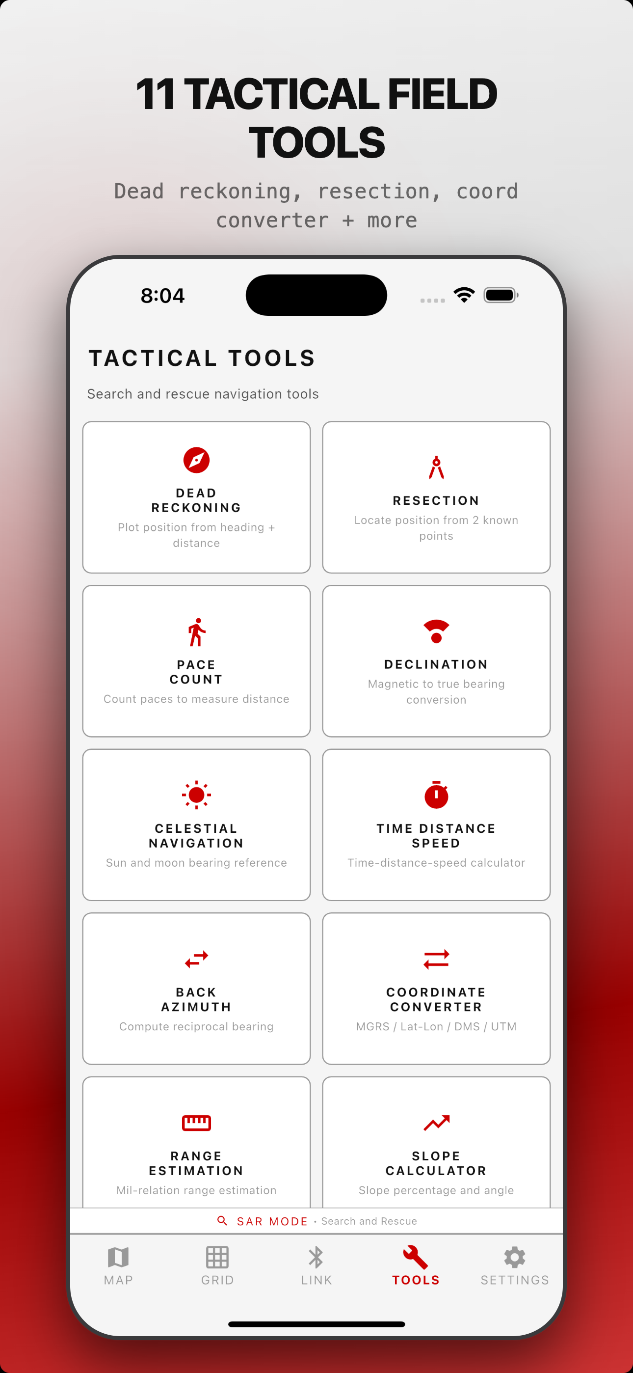
11 Tactical Tools
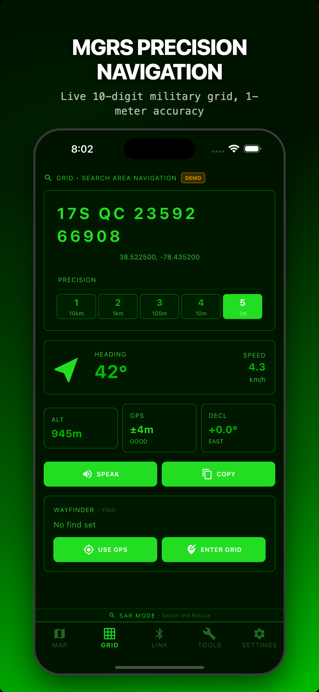
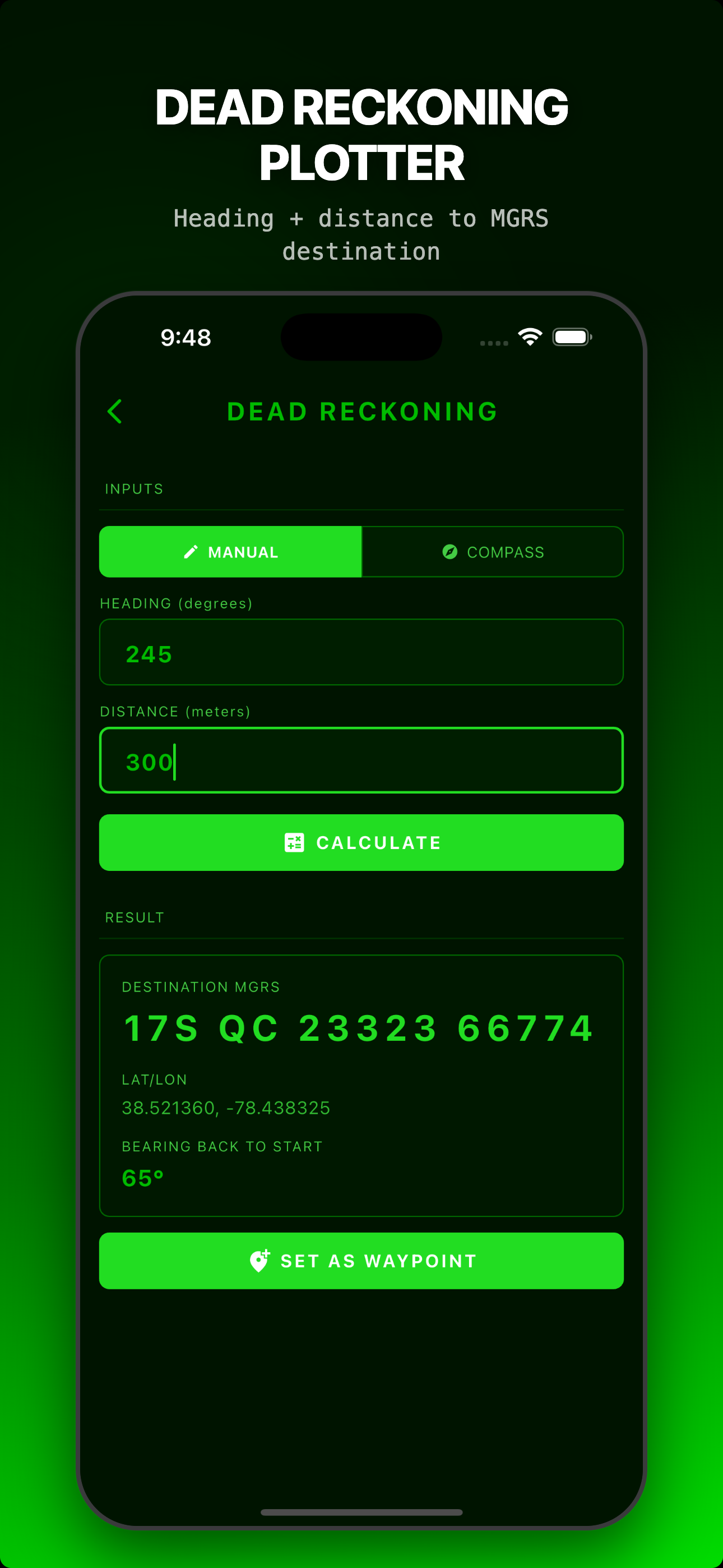
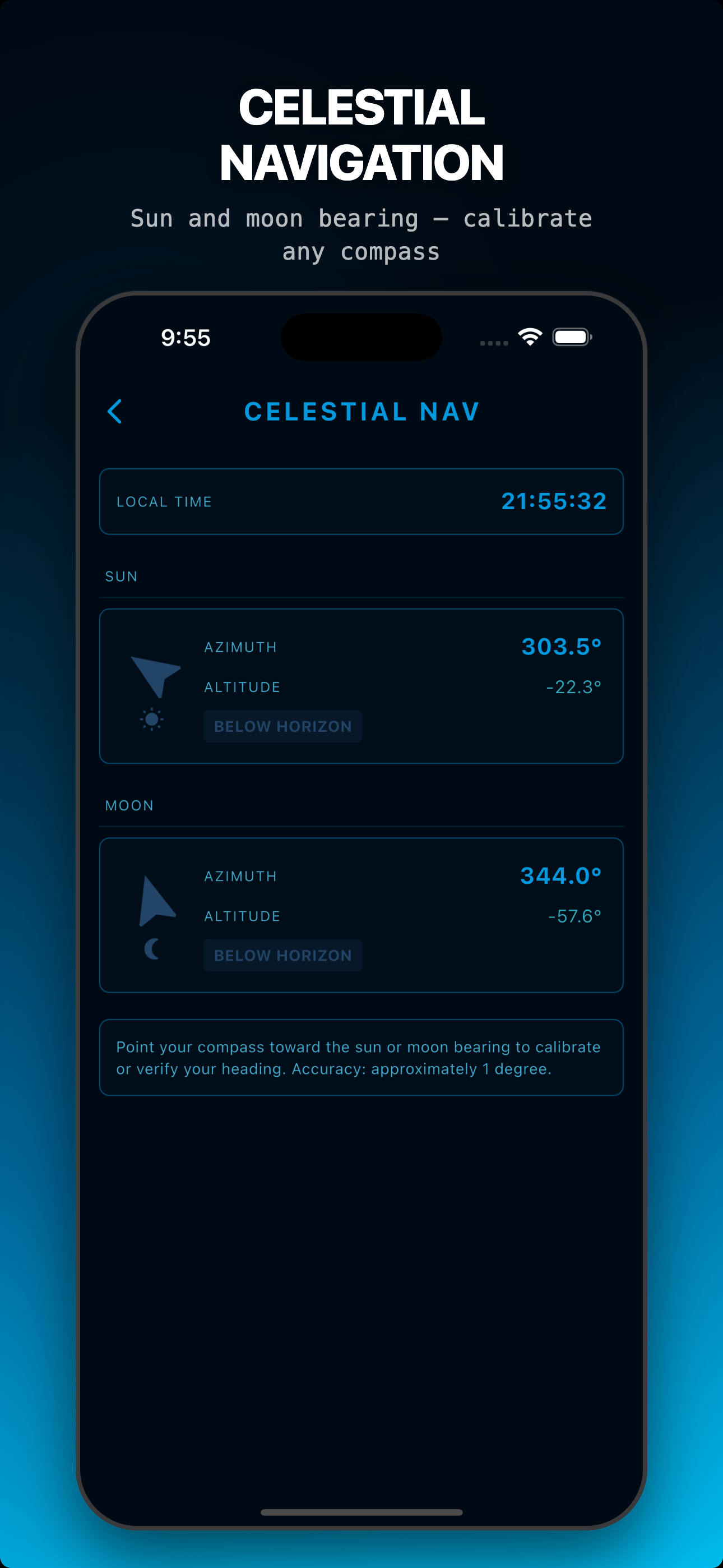
Dead reckoning, two-point resection, pace count, bearing/back azimuth, coordinate converter, range estimation, slope calculator, ETA/speed, declination, celestial nav, MGRS reference.
Team Roles & Coordination
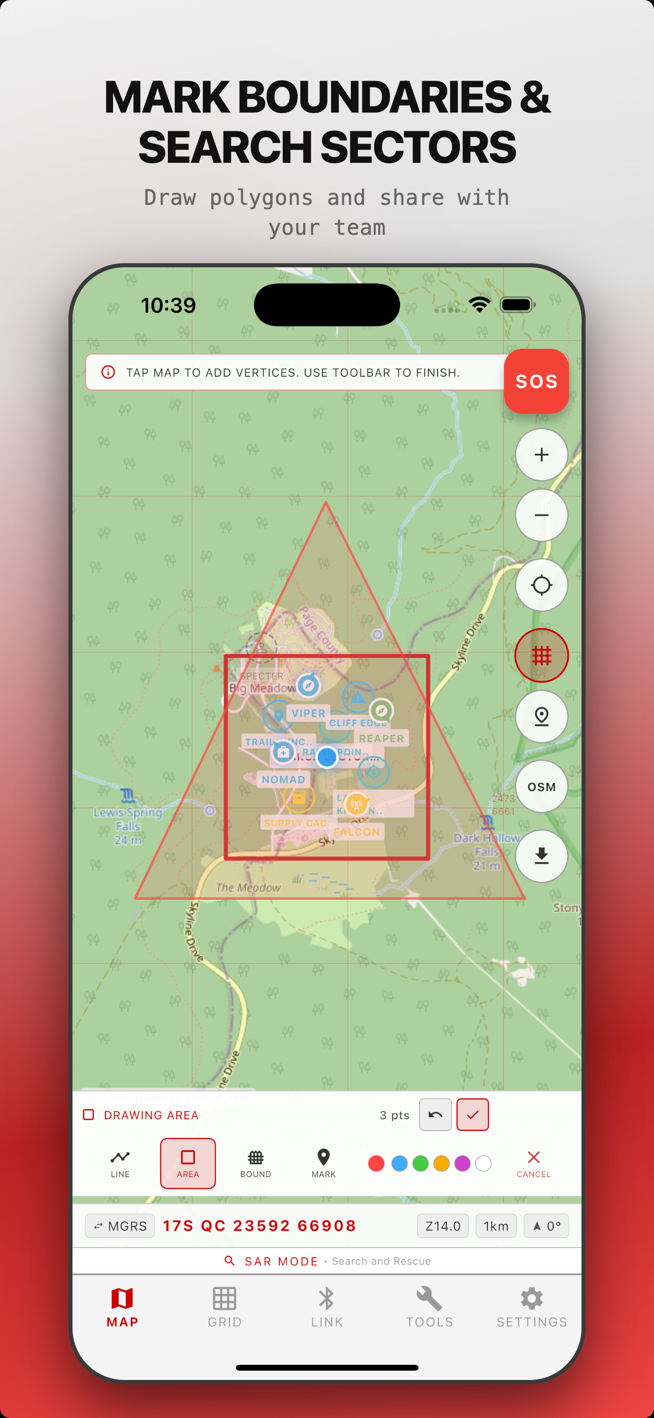
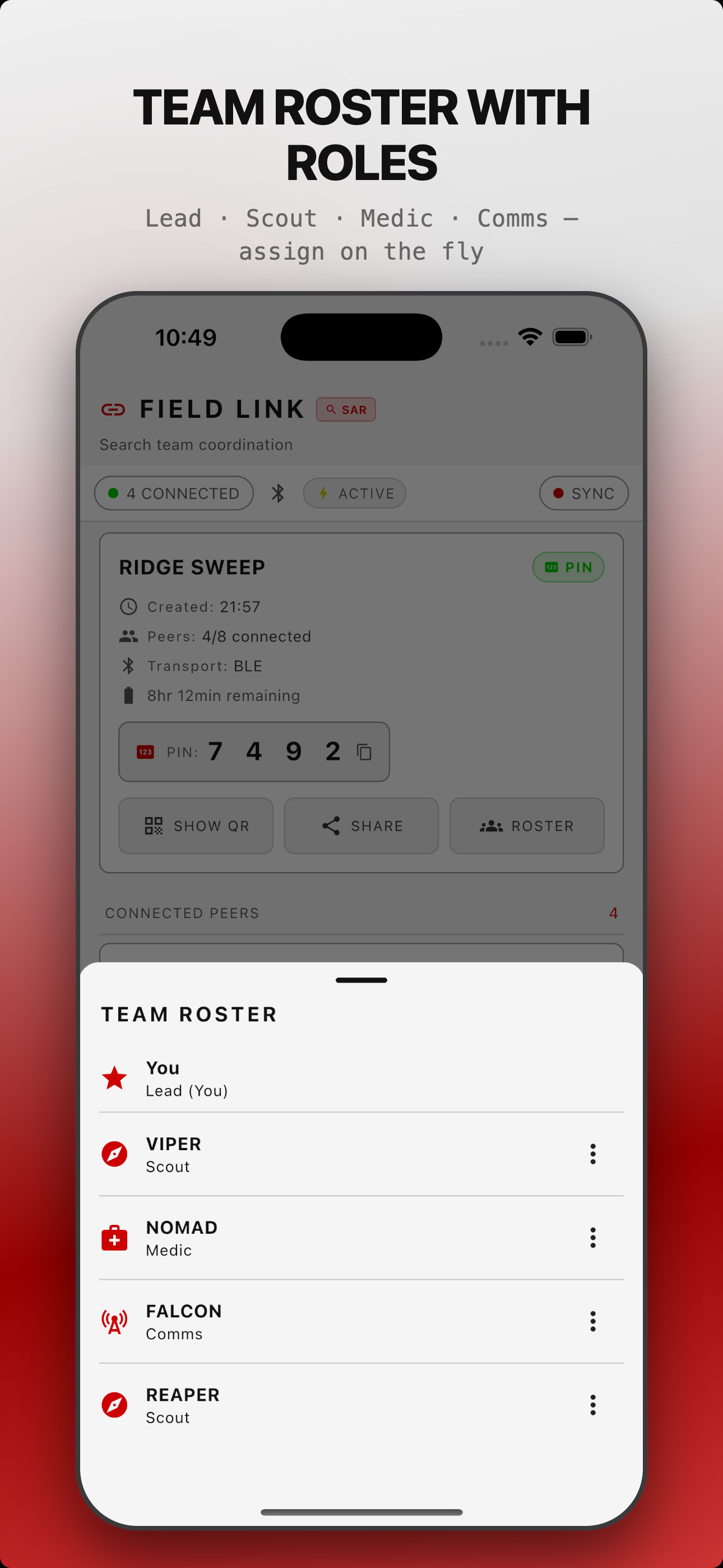
Assign Lead, Scout, Medic, Comms, or custom roles with callsigns. Share waypoints, draw boundaries, get alerts when teammates cross the geofence.
Ghost Markers & Time-Decay
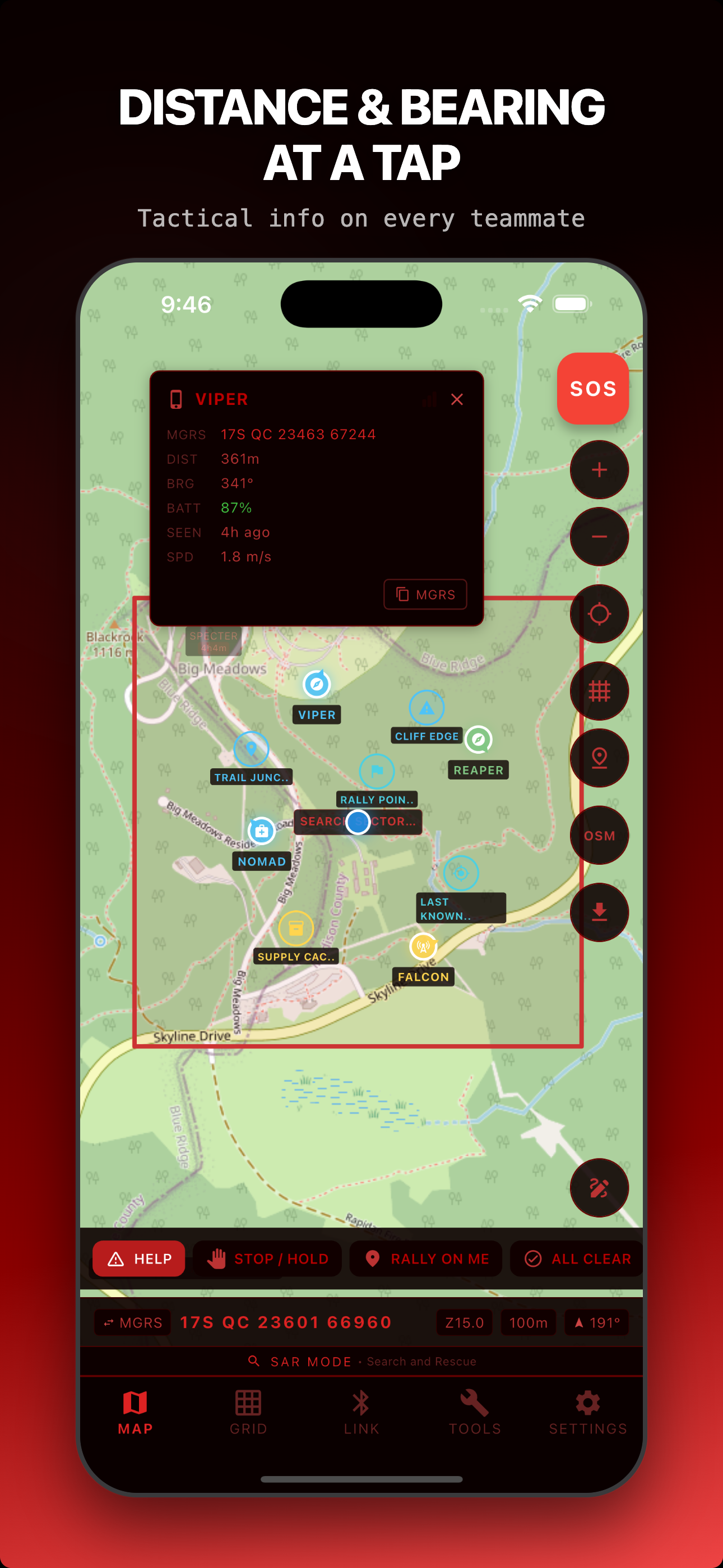
When teammates go out of range, their last-known position stays on your map. Opacity fades over 30 minutes with projected heading vectors.
4 Operational Modes
SAR, Backcountry, Hunting, Training. UI adapts terminology, icons, and quick actions to your mission context.
Built to Work When It Matters
Reliable Peer Discovery
Peer discovery is hardened end to end: both phones find each other fast and stay in sync. AES-256-GCM with ECDH P-256 keys on every PIN and QR session.
Emergency Beacon
One-tap SOS sends your GPS to all teammates. Retransmits every 30 seconds. Full-screen alert with distance and bearing.
Tactical Messaging
7 pre-canned tactical messages plus free text. HELP, STOP, RALLY ON ME, ALL CLEAR, and more. One tap to send.
Connection Health
Signal quality bars for each teammate. Range warnings when signal weakens. Ghost markers keep the last known position visible when a peer drops.
Red Grid Link vs. The Competition
| Feature | Red Grid Link | ATAK | goTenna | Garmin inReach | Meshtastic |
|---|---|---|---|---|---|
| Price | Free / $3.99/mo | Free (software) | $849+ device | $300+ device + sub | $20-$150 radio |
| Server required | No | TAK Server | No | Garmin cloud | No |
| iOS + Android | Both | Both (iTAK on iOS) | Both | Both | Both |
| Encryption | AES-256-GCM + ECDH P-256 | AES-256 + TLS | AES-256 | Proprietary | AES-256-CTR |
| MGRS native | Yes | Yes | No | No | No |
| Offline maps | MBTiles download | Yes | No | Basic | No |
| Max team size | 8 devices | Unlimited | Varies | Unlimited | Varies |
| Accounts required | None | Yes | Yes | Yes | None |
| Additional hardware | Phone only | Phone only | goTenna device | inReach device | LoRa radio |
Who It's For
Field Link is direct phone-to-phone sync: no router, no cell tower, no account. Anyone who moves as a team off the grid can use it.
Search & Rescue
See every searcher on one map, assign sectors, drop clue markers, and keep last-known positions visible when a teammate drops out of range.
Hunting Parties
Know where every member of the party is without radio chatter. Share stand locations and stay coordinated across a dark, quiet treeline.
Training & Mil/LE
Run STX lanes and squad movement with live blue-force positions, roles, and callsigns, with no TAK server to stand up.
Event & Race Safety
Track marshals, sweep teams, and medics across a course with no cell dependency and a shared map everyone can read.
Ski Patrol & Trail Crews
Coordinate a crew spread across terrain, mark hazards and boundaries, and get alerts when someone crosses a geofence.
Guides & Outfitters
Keep clients and staff on the same map in the backcountry, with offline tiles cached before you leave coverage.
Built For All-Day Operations
<5%
battery/hr
Active Mode
5-second position updates
<3%
battery/hr
Expedition Mode
30-second position updates
<2%
battery/hr
Ultra Expedition
60-second position updates
Pricing
- All 4 operational modes
- 2-device Field Link
- 1 offline map region
- 11 tactical tools
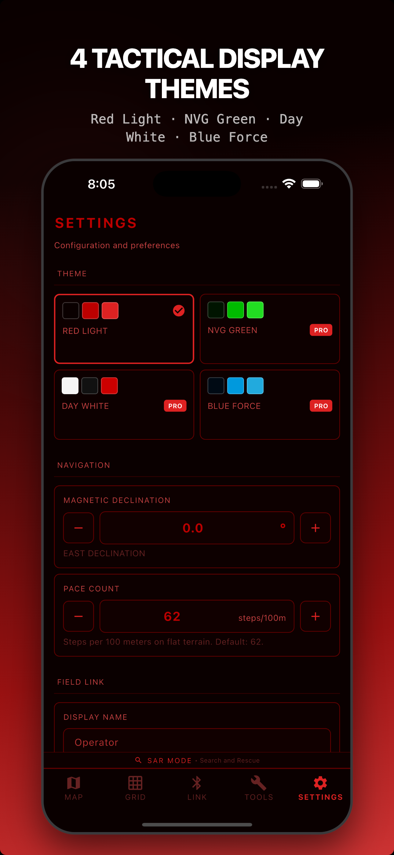
- Red Light theme
- All 4 themes
- Unlimited map downloads
- After-Action Reports
- 2-device Field Link
- Best value: save 37%
- All Pro features forever
- 8-device Field Link
- All future updates
- No subscription ever
Running a bigger team but not ready for Lifetime? Pro+Link adds 8-device Field Link on a subscription: $5.99/month or $44.99/year. Need multi-seat licensing or priority support? Contact us about Enterprise & Teams.
Frequently Asked Questions
How does Field Link work?
Field Link uses Bluetooth Low Energy and platform peer transports to auto-discover nearby teammates and share encrypted position data, with no account or server setup. AES-256-GCM encryption with ECDH P-256 keys generates new keys for every session, and data syncs peer-to-peer with no Red Grid cloud involved.
Does it work without cell service?
Yes. Red Grid Link uses GPS satellites for positioning and local peer transports for team sync, with no cell towers or internet required. Download your map regions before heading out for full offline operation with MGRS grid overlay, all 11 tools, and team coordination.
What data do you collect?
None. No accounts, no analytics, no cloud sync, no tracking. Your field data stays on your device unless you intentionally share it inside a peer session or export it, and Field Link session data is ephemeral: it disappears when the session ends.
How is this different from ATAK?
Red Grid Link is a lightweight ATAK alternative for civilian teams. It runs on both iOS and Android (ATAK is Android-only), needs no TAK Server, sets up in 30 seconds, and is built for SAR, hunting, and backcountry teams rather than military operations. No IT department required.
Can I use it for hunting?
Yes. Hunting mode adapts the UI with hunting-specific terminology, icons, and quick actions. Track your whole party on the map, share stand locations, mark game trails, and coordinate without radio chatter, all over encrypted Bluetooth.
Is Android available?
Yes. Red Grid Link is on both the App Store and Google Play. The Android build is public, with current work focused on field feedback and parity polish.
How far does Bluetooth reach?
Range depends on phone hardware, terrain, body position, vegetation, and interference. Treat Link as nearby-team coordination, not a radio replacement; for longer range, pair it with mesh or radio systems. When a peer drops, Link keeps their last-known position visible as a Ghost Marker.
What are Ghost Markers?
When a teammate moves out of Bluetooth range, their last-known position stays on your map as a Ghost Marker. Its opacity fades over 30 minutes so you can gauge how stale the data is, and a projected heading vector shows their likely direction of travel.
Navigate solo, too
Red Grid Link is built on the same MGRS engine as Red Grid MGRS: our free solo navigator with 12 tactical tools, offline topo maps, and Meshtastic awareness. Use MGRS on your own; add Link when you move as a team.
Explore Red Grid MGRSReady to coordinate?
Download Red Grid Link and get your team on the map in 30 seconds.